


How NASA Has Been Contributing to the Conservation of Animals and Their Habitats for Half a Century
Share

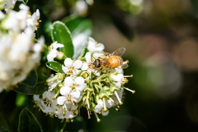
The rise in human population has led to the expansion of urbanization and the occupation of natural habitats. Perhaps the growth of the human population itself is not as significant a problem for preserving natural habitats as much as human greed to take more than necessary. So much life on Earth coexists, yet it seems only humans find it cramped and feel the need to expand more and more each day. There are various reasons why biodiversity is endangered, while habitat loss is currently the greatest threat.
The extent to which we as a species have contributed to the endangerment of others can be illustrated with the example of tigers. Data shows that Bengal tigers once roamed widely across Asia, but over the last 150 years, more than 90 per cent of their habitat has been lost.
In 1972, the National Aeronautics and Space Administration (NASA) launched the Landsat program, which captures images of our planet’s surface to study changes in habitats, climate conditions, and natural resource management.
After more than five decades of observation, this program has created an archive of data that has significantly enhanced our understanding of our planet, its natural resources, and dynamic processes. The program consists of a series of satellite missions, and according to NASA’s official website, Landsat Next is the next mission expected to be launched by the end of 2030. The advanced technology will enable improved monitoring and management of changing landscapes.
However, while we await this, I would like to highlight the significance of the missions conducted so far. Nine missions have been undertaken to date: the first launched in 1972, the second in 1975, the third in 1978, the fourth in 1982, the fifth in 1984, the sixth in 1993, the seventh in 1999, the eighth in 2013, and the most recent in 2021.
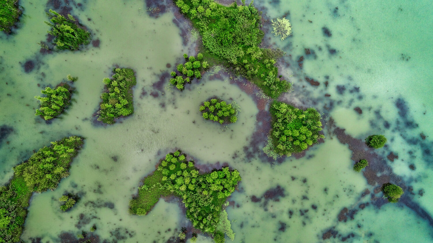
Landsat satellites play a crucial role in the protection of endangered animal species. One way they provide protection is through their ability to use infrared light to map and monitor the health of vegetation. Although infrared light is not visible to the human eye, it is beneficial for plants and studying their health. Depending on the health of the plant, it reflects infrared light differently, and Landsat sensors can accurately measure this reflection. Based on such collected data, scientists can more accurately assess the health of natural habitats. The vegetation of a particular area is important for both food and shelter and for the overall health of the ecosystem.
Landsat satellites can also precisely map ecosystems such as mangrove forests, coral reefs, and others. NASA has reported that thanks to these missions, scientists have identified 650 barrier islands worldwide that were previously unknown. Based on years of data collection, scientists can observe changes in habitats and monitor climate changes, water management, agricultural production, and forest fires or logging, all of which are significant for better managing natural habitats that have already been degraded but are crucial for the survival of endangered species.
For example, Landsat satellites have discovered the emergence of green areas in the Arctic, indicating increased vegetation due to climate change and ice melting. This has helped scientists understand how these ecosystems change and how that affects wildlife.
Last but not least, another good example concerns the mapping of new habitats for previously unknown endangered species, like the critically endangered marsh bird Yuma Ridgway’s Rail. This way, scientists can better plan measures for its protection and population restoration in its natural environment.